Niger - The river Niger, islands and the valley
"Located in the extreme west of the country and watered by the River Niger, the region of Tillabéry covers an area of 91 199 km2. It is restricted to the north by Mali, on the West and in the southwest by the Burkina Faso, in the south by the Benin, in the southeast by the region of Dosso and in the northeast by that of Tahoua. The party of Niger, represents 21 % of the whole pouring Basin. This party of Niger of the river which is located in Medium Niger spreads out from Tombouctou (Mali) to Malanville (Benin). A scoop of lower Niger (Gaya on border with Nigeria) interests also Niger. So, the geographical basin is composed of vast arid zones, lowlands of inundations and of marshy zones characterized by the presence of big valleys which dry up progressively. The river Niger and its affluents (Gorouol, Sirba, Goroubi, Tapoa, Mékrou) contains a considerable number of kinds (mammals: crocodiles, hippopotamuses, manatees, antelopes and carnivoras). The basin of the river Niger also has an important faunique potential." Source: UNESCO World Heritage Tentative List.
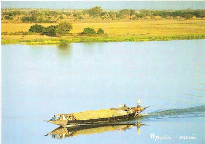
Postcard 1
 Postcard 2
 Postcard 3
 Postcard 4


No comments:
Post a Comment